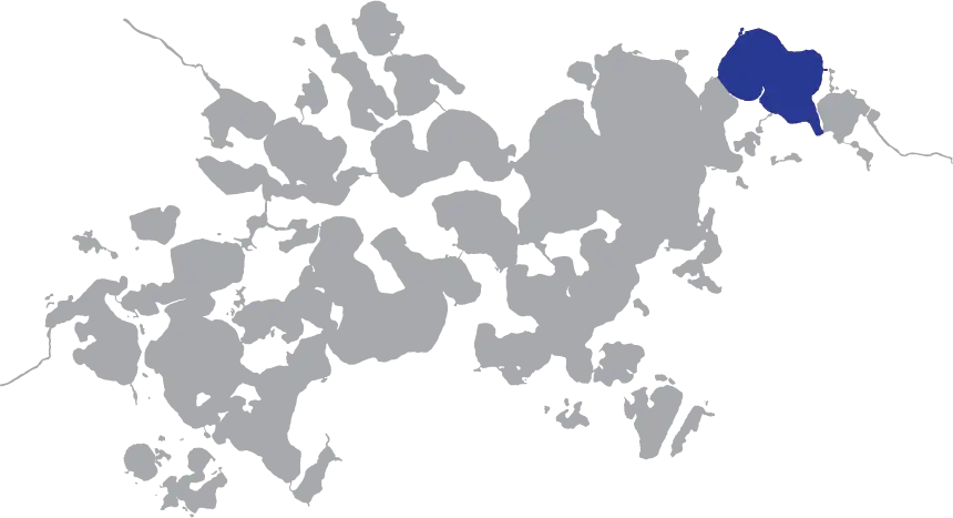
Sharing it’s edges with the Northern Lower Minnetonka to it’s southwest and Gray’s Bay to it’s east via the Gray’s Bay Channel, Wayzata Bay is one of the busiest bays on Lake Minnetonka –a distinction it owes to it’s tangental city of the same name. Wayzata is the largest municipality on Lake Minnetonka with many public boat slips and several lake side restaurants and bars.
Onomatology
Wayzata Bay was given its name after Waziyata the Sioux word for “north” and Waziya – The Dakota / Lakota God of the north wind, winter, and death (as the northern winds of winter would bring the end to the annual cycle of life). Its pronunciation was anglicized to its present day form.
History
Oscar E. Garrison was one of the first Euro-Americans to settle on the Wayzata Bay shores and he later plotted the City of Wayzata in 1854. The area was heavily wooded and in 1855 corn and wheat farmers settling in the area clear-cut much of the surrounding forrest to grow crops. In 1857, an infestation of grasshoppers wiped out all the farms in the area, devastating the local economy and livelihood of the farmers. Miraculously, a discovery of ginseng in the remaining forests drew huge demand as an export to China, where the root was highly sought after as an aphrodisiac. This allowed the Wayzata economy to recover and flourish, going forward. The Addition of the first connecting train line from Minneapolis to Wayzata bolstered the local growers and provided the first mass transit to Lake Minnetonka.
Wayzata Bay was an import bay for the Mdewakanton Dakota people for several reasons. Its proxy to Gray’s Bay, a spot known to be rich in wild rice made the flat, southern facing, wooded area of present day Wayzata an ideal place to set up camp.
On the southern shore of Wayzata Bay where it meets Northern Lower Lake Minnetonka is a peninsula named Breezy Point. This point was known as ‘Spirit Knob’ to the Mdewakanton people and had substantial spiritual importance to them. They believed all the power of Lake Minnetonka flowed from that point. Spirit Knob was once a raised bluff, about 25-35 feet in height at the tip of the point with a large tree near its peak. The Mdewakanton would perform sacred rituals on this bluff. It was later eroded and removed because of its lack of structural integrity.


